In 1852
the lower
reaches of the River Sheaf in Sheffield (UK) were crossed only by the
Sheaf
Bridge and Canal Bridge close to the Corn Exchange,
a footbridge at the foot of Pond Hill, and
the ‘Farm Bridge’ at the junction of Shrewsbury Road, Suffolk Road, St. Mary’s
Road and Queens Road.
This stretch of the river, almost 1.5km. long, now runs in
culverts (except for one 40m. exposed section near Pond Hill) and emerges into
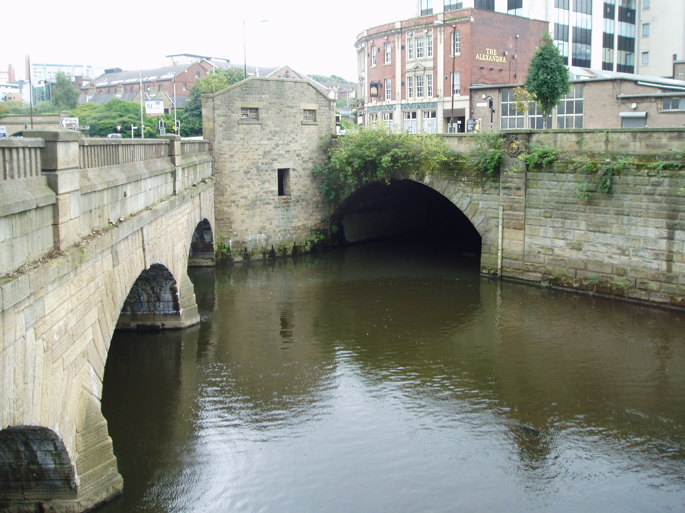
the River Don under Castlegate at its junction with Blonk Street (Grid Ref. SK35858773).
 |
The River Sheaf’s junction with the
Don, the arch on the right,
with Blonk Street Bridge, seen on the left.
(From Wikipedia) |
The building of the culvert, now known to Urban Explorers as
“The Megatron”, started in about 1850 when the section between the Sheaf Bridge
(on Broad Street), and the Canal Bridge (on Exchange Street) was covered to
create the Castlefolds Market which stood between the
existing Corn Exchange and the new Norfolk Market Hall.
Later sections were added over the years and
the Sheaf Bridge and Canal Bridge were lost and forgotten.
But are they still there buried in the culvert? This posting gives a glimpse into some
research I did recently to try and untangle the story of the culvert and to try
and find the old bridges.
